Description
Dear, you can purchase directly, if you need to consult product information, welcome to add my WHATSAPP (+8615616438600)
Next Generation Mapping
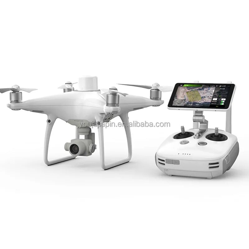
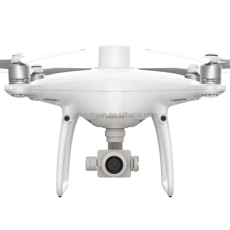
DJI has rethought its drone technology from the ground-up, revolutionizing its systems to achieve a new standard for drone accuracy – offering Phantom 4 RTK customers centimeter-accurate data while requiring fewer ground control points.
Centimeter-Level Positioning System
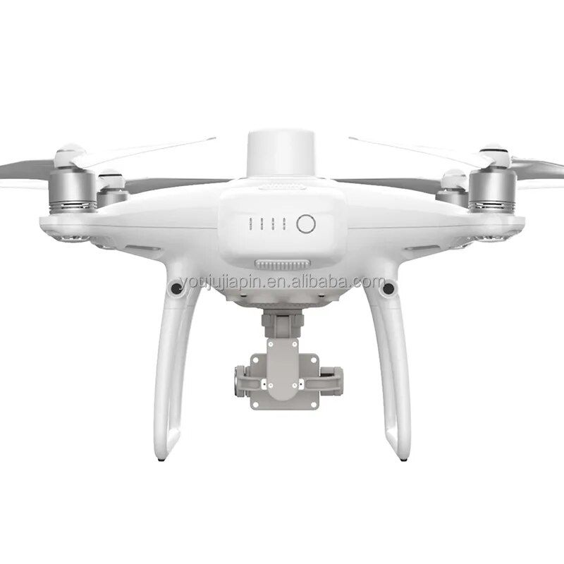
A new RTK module is integrated directly into the Phantom 4 RTK, providing real-time, centimeter-level positioning data for improved absolute accuracy on image metadata. In addition to optimized flight safety and precise data collection, the Phantom 4 RTK stores satellite observation data to be used for Post Processed Kinematics (PPK), which can be conducted using DJI Cloud PPK Service*. Fit the Phantom 4 RTK to any workflow, with the ability to connect this positioning system to the D-RTK 2 High Precision GNSS Mobile Station, or NTRIP (Network Transport of RTCM via Internet Protocol) using a 4G dongle or WiFi hotspot.
Gather Accurate Data with TimeSync
To take full advantage of the Phantom 4 RTK’s positioning modules, the new TimeSync system was created to continually align the flight controller, camera and RTK module. Additionally, TimeSync ensures each photo uses the most accurate metadata and fixes the positioning data to optical center of the lens – optimizing the results from photogrammetric methods and letting the image achieve centimeter-level positioning data.
Precise Imaging System
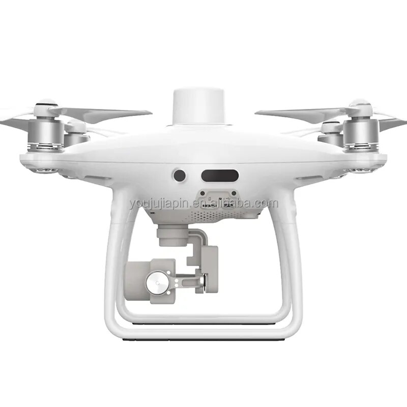
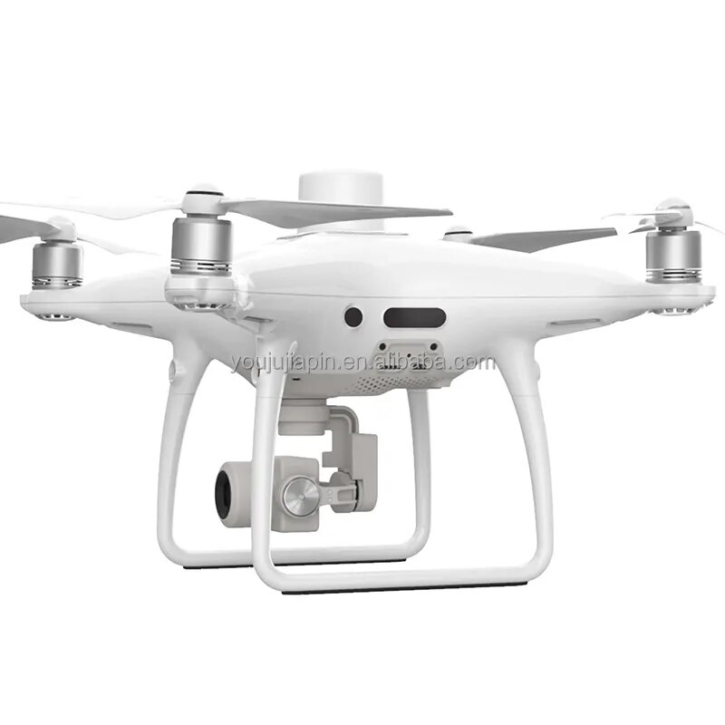
Capture the best image data with a 1-inch, 20-megapixel CMOS sensor. Mechanical shutter makes mapping missions or regular data capture seamless as the Phantom 4 RTK can move while taking pictures without the risk of rolling shutter blur. Due to the high resolution, the Phantom 4 RTK can achieve a ground sample distance (GSD) of 2.74 cm at 100 meters flight altitude.To ensure each Phantom 4 RTK offers unparalleled accuracy, every single camera lens goes through a rigorous calibration process, with parameters saved into each image’s metadata, letting post-processing software adjust uniquely for every user.
Built for Surveyors
Offering a range of control schemes and complimentary technologies,the DJI Phantom 4 RTK is developed to provide survey-grade results with greater efficiency than ever before.
Purpose-Built Application
A new DJI GS RTK app and Remote Controller with built-in screen, giving users a streamlined control scheme for surveying missions and other data acquisition scenarios.The GS RTK app allows pilots to intelligently control their Phantom 4 RTK, with multiple planning modes, including Photogrammetry (2D and 3D), Waypoint Flight, Terrain Awareness, Block Segmentation*, and more. Users can also import KML/KMZ files to optimize the workflow for their missions.With the built-in screen, pilots can clearly view and plan their missions on an ultra-bright, 5.5-inch HD display.
Access a Variety of 3rd Party Applications
Pilots with experience using 3rd party apps on DJI drones can access the world’s leading drone app ecosystem for their Phantom 4 RTK with the SDK Remote Controller. Users can plug in a compatible Android or iOS device and install any compatible DJI Mobile SDK-enabled app to harness the full power of their Phantom 4 RTK.
OcuSync Transmission System
Enjoy stable and reliable HD image and video transmission at distances of up to 7 km, great for mapping larger sites
Seamless Compatibility with D-RTK 2 Mobile Station
Support your Phantom 4 RTK missions with the D-RTK 2 Mobile Station – providing real-time differential data to the drone and forming an accurate surveying solution, or acquire accurate location coordinates when used as an RTK rover. The Mobile Station’s rugged design and OcuSync transmission system ensures you can gain centimeter-level accurate data with your Phantom 4 RTK in any condition.
| Mapping Functions | |
| Mapping Accuracy ** | Mapping accuracy meets the requirements of the ASPRS Accuracy Standards for Digital Orthophotos Class Ⅲ ** The actual accuracy depends on surrounding lighting and patterns, aircraft altitude, mapping software used, and other factors when shooting. |
| Ground Sample Distance(GSD) | (H/36.5) cm/pixel,H means the aircraft altitude relative to shooting scene (unit: m) |
| Data Acquisition Efficiency | Max operating area of approx. 1 km² for a single flight(at an altitude of 182 m, i.e., GSD is approx. 5 cm/pixel, meeting the requirements of the ASPRS Accuracy Standards for Digital Orthophotos Class Ⅲ |


Youjujiapin has been one of the top distributors in radio control toys , Guangdong , China , Photography and intelligent device businesses . Till now we have deep strategic cooperation with DJI , Xiaomi/Fimi , Zhiyun , Nintendo , Insta 360 , Autel robotics , Sublue , The first-line intelligent hardware brands . The major products are camera drones , Agricultural spraying drones , Professional drones , Smart phone gimbal stabilizers , Dslr gimbals , Action cameras . Close to shenzhen airport with worldwide convenient transport .
In recent years , We have expanded our products to more kinds of electronic promotional items/gifts . We also have rich experience in oem and odm . Our products are exported worldwide and have obtained customers’ satisfaction for our product quality and services . Many customers have us be their steady supplier in china . Any inquiries or orders are warmly welcomed and appreciated . We sincerely hope to establish long-term business relationships with worldwide customers on the basis of our plentiful experience and good services .

1 : Timely response
We will reply any of your inquiries within 24 hours . Even if on holidays .
2 : Strict quality control
Our q&c team will inspect every shipment before delivery and provide official inspection report .
3 : After sales service
Our customer service team will receive all the feedback from our customers and improve our service . We will give our responsible solution as soon as possible . Customers’ satisfaction is our eternal pursuit .
Q : Why choose us ?
A : We have 4 years experience on drone business and one stop solutions of drone , Especially on security .
Q : What is the minimum order quantity(MOQ) ?
A : No quantity limited , Sample order or small order is acceptable , But the customers have to pay the sample cost and the courier cost .
Q : Could you offer wholesale price ?
A : Yes , Of course . If you order in large quantity , We can give you the wholesale price and more discount .
Q : How long is your delivery time ?
A : Generally 5-10 days if goods are in stock . If not in stock , We need possible 3 working days to prepare goods .
Q : What is your product quality ?
A : Our raw materials are all purchased from qualified suppliers . And we have very strict qc standard to assure our final products meet your requirements .
Q : Can you give me best shipping cost ?
A : Sure , We give our customer best shipping cost and fast shipping time . Usually we use DHL , UPS , FEDEX , TNT to keep the good quality . Or you can also appointed your own forwarder , We deliver goods to your forwarder , And help them to arrange shipment for you .
Q : Can you print my own logo on the products ?
A : Yes , Of course . Not only the logo , But also the packing design and other oem services are available . We will prepare artwork for visual confirmation , And next we will produce a real sample for your final confirmation . If sample confirmed ok , Then we will go to mass production .
Q : What’s the payment terms ?
A : We accept alibaba , L/C , D/A , D/P , T/T , Western union , Moneygram , Paypal , Alipay , Bank . Welcome to use the alibaba trade assurance .
Q : I’m shopping at your company at the first time, How can i trust you ?
A : We totally understand if you have some doubt about us at our first cooperation . You are welcome to visit our company or shop anytime you like .



Reviews
There are no reviews yet.